From Student to Specialist: Adrian Robins' Nature-Based Vision for Virginia's Eastern Shore
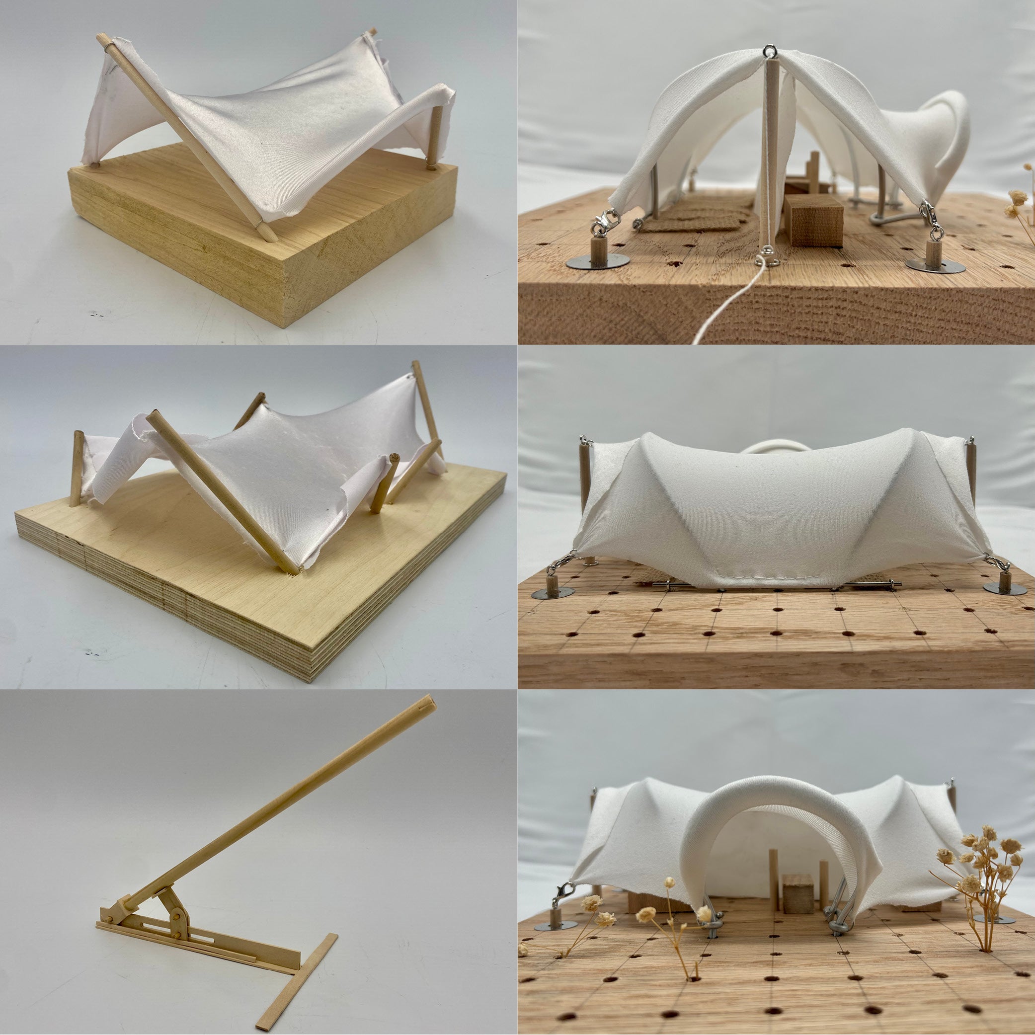
Image
In 2023, then-Master of Landscape Architecture student Adrian Robins was balancing his busy schedule with a graduate fellowship with Virginia Sea Grant, setting out to help coastal farmers on Virginia's Eastern Shore adapt to the encroaching realities of sea-level rise. Fast-forward two years later and Robins, now a research specialist at UVA School of Architecture's Natural Infrastructure Lab (NIL), is continuing to build on that mission, designing new forms of coastal infrastructure for the Gulf and Atlantic coasts.
After two years of funding and fieldwork, Robins has successfully concluded his research project, Adaptation Imaginaries for a Coastal Agricultural Community on Virginia’s Eastern Shore. Supported by $40,000 from Virginia Sea Grant and $10,000 from the NIL, the project tackled one of the most urgent climate challenges facing the region: the steady loss of farmland due to saltwater intrusion, erosion, and land subsidence.
Working in partnership with the Eastern Shore Agricultural Research and Extension Center (AREC) and under the advisement of Assistant Professor and NIL co-director Michael Luegering, Robins collaborated with local farmers in Accomack County to test adaptation strategies on sites along the northeastern coast of the Eastern Shore. “What I found most rewarding,” Robins reflected, “was making genuine connections with farmers and landowners on the shore. This was done over the course of two years, and usually accompanied by amazing local oysters, gumbo, and beer.”
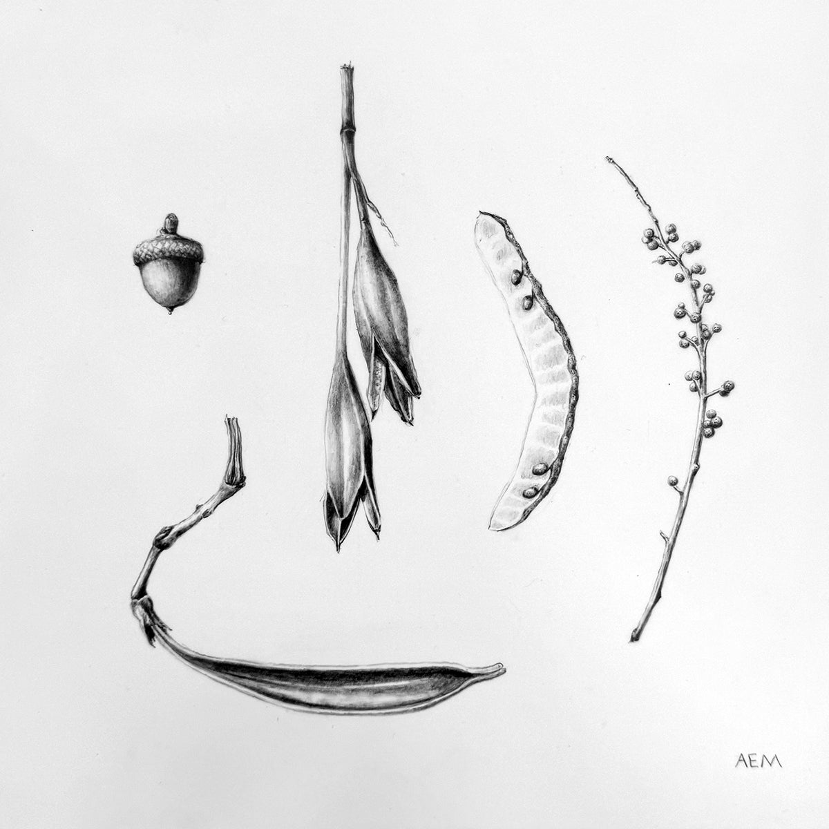
Image
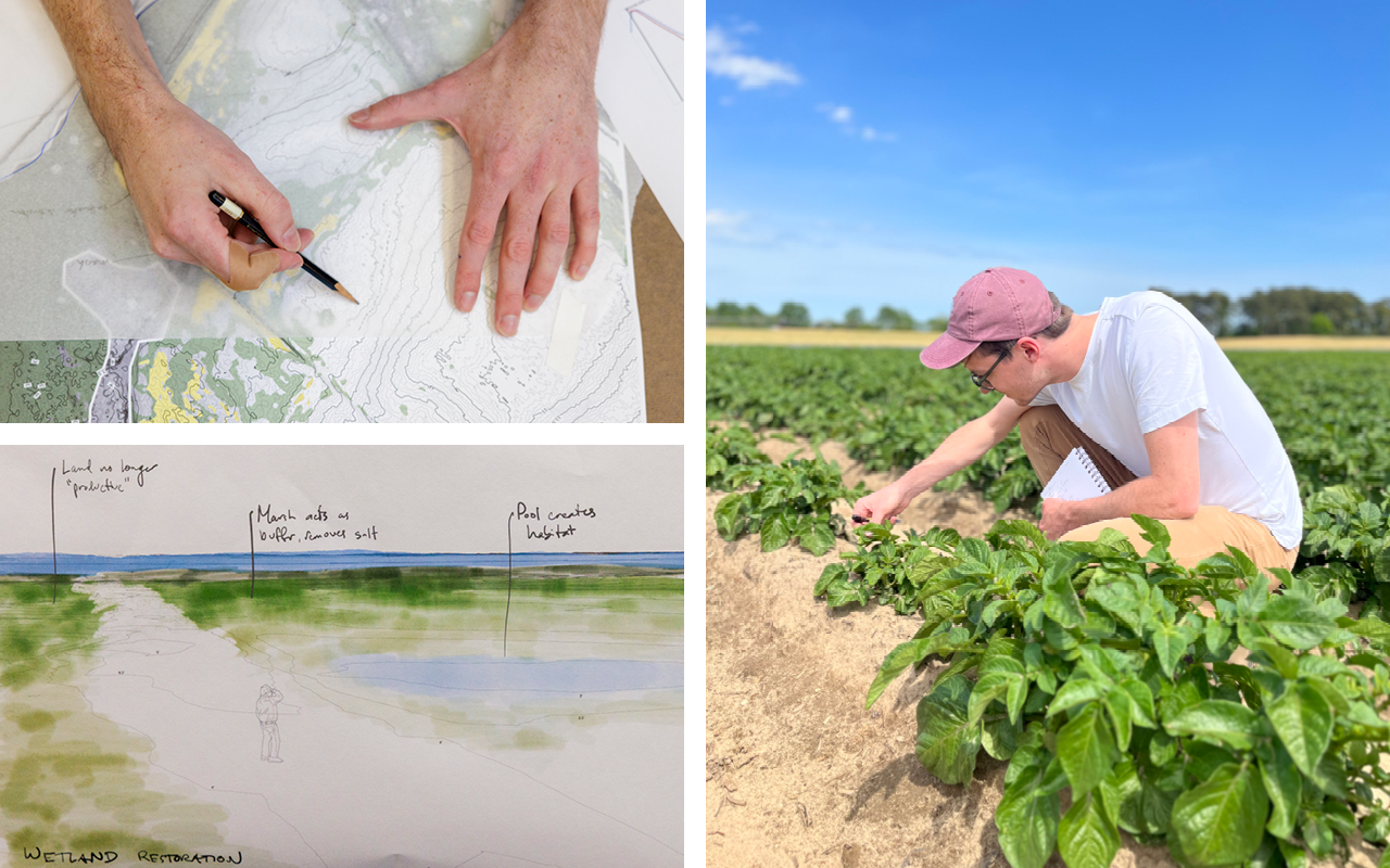
Guided by three key objectives, Robins synthesized existing and emerging nature-based solutions—from salt-tolerant crops and marsh migration buffers to landform typologies and offshore sediment capture. He then worked directly with landowners to evaluate how these strategies could be tailored to site-specific conditions. This collaborative, ground-level research culminated in a detailed 26-page document titled The Impact of Erosion, Subsidence, and Saltwater Intrusion on Eastern Shore Farmland. Designed with accessibility in mind, the report combines maps, diagrams, and actionable design strategies that will be published and disseminated through the Virginia Cooperative Extension, a a partnership between Virginia’s two land grant universities: Virginia Tech and Virginia State University.
The long-term goal? To give farmers a toolbox of nature-based options that don’t require abandoning their land or waiting on hard infrastructure. “Too often, multi-generational farmers on the Eastern Shore are reluctantly selling their land into conservation easements,” Robins said. “This project tried to flip that narrative by providing nature-based alternatives that are accessible to any farmer, even those most affected by crop and land loss or those who have been historically marginalized, so they have equal agency over their land and their future.”
|
Image

|
Image

|
| Agricultural projections showing acreage of farmlands affected in tidal zones and 4' storm surge zones over time. At left is a past scenario from 2005, at right is a future scenario in 2100. Robins' analyses are included in a 26-page culminating document based on his research on the Eastern Shore. | |
Working closely with farmers, Robins found that clear communication is critical to effective climate adaptation. Guided by his mentor Dr. Mark Reiter, director of the Eastern Shore Agricultural Research and Extension Center (AREC), he developed maps and visual tools to help landowners better understand projected impacts. “One of the most interesting things I learned through working with Mark,” Robins noted, “was that—much to both of our surprise—a survey conducted by the AREC revealed that farmers in the area identified coastal adaptation as their highest priority. The population generally doesn't talk openly about sea level rise, so this response was both surprising and encouraging.”
Now working full-time with UVA’s Natural Infrastructure Lab Robins is extending the reach of his fellowship experience. "Directing the Virginia Sea Grant project with support from Michael and Mark gave me confidence in project management and numerous professional skills, not to mention I gained an incredible research experience.” His ongoing work with the NIL supports broader efforts to position rural landscapes and their landowners as active agents in climate resilience.
As Virginia’s coastal farmers face mounting uncertainty, Robins' journey from graduate student to research specialist reflects the power of interdisciplinary collaboration—and the potential of design to not just imagine futures, but to build them.